Revolutionizing Accident Reconstruction with Drone Technology in Marietta GA
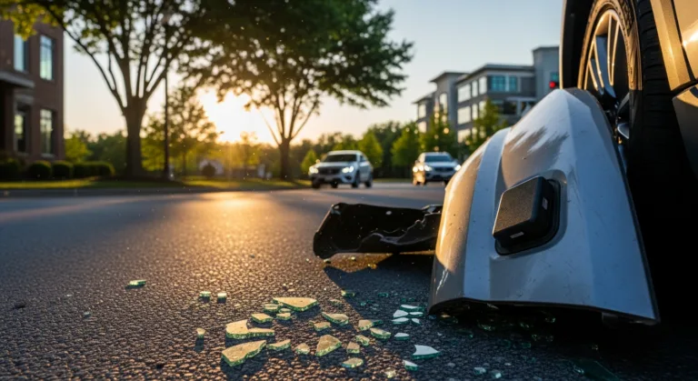
The aftermath of a car accident is chaotic, stressful, and often confusing. Determining fault can be a complex process, relying on witness statements, police reports, and traditional accident reconstruction methods. But what if there was a way to capture a comprehensive, bird’s-eye view of the scene, providing irrefutable evidence? Enter drone technology. How is this transforming car accident investigation in Marietta GA, and how can it help you prove fault?
The Power of Aerial Photography in Accident Scene Documentation
Traditional accident reconstruction methods often rely on ground-level photography, measurements taken with measuring tapes, and hand-drawn diagrams. These methods, while still valuable, can be time-consuming, prone to human error, and may not capture the full scope of the accident scene. Drone technology offers a far more efficient and accurate solution.
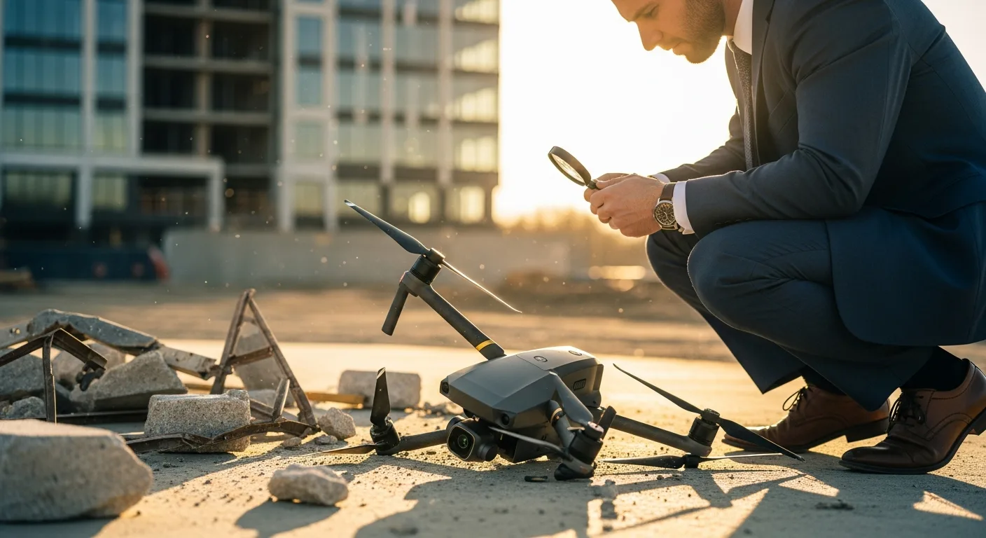
Drones equipped with high-resolution cameras can quickly capture aerial photographs and videos of the accident scene. These images provide a comprehensive overview, showing the position of vehicles, debris fields, skid marks, and other crucial evidence. The data captured is then used to create 3D models of the crash site, which can be manipulated and analyzed to determine the sequence of events leading to the collision.
The benefits are numerous:
- Speed and Efficiency: Drones can survey an accident scene in a fraction of the time it would take using traditional methods.
- Accuracy: Aerial imagery provides a far more accurate representation of the scene than ground-level photographs and hand-drawn diagrams.
- Comprehensive Documentation: Drones capture a complete picture of the accident scene, including details that might be missed by investigators on the ground.
- Objectivity: The data collected by drones is objective and unbiased, reducing the potential for human error or subjective interpretation.
Utilizing Drone Data for Enhanced Car Accident Investigation
The raw data collected by drones is not simply a collection of images. Specialized software is used to process the data and create detailed 3D models of the accident scene. These models can be used to:
- Determine Vehicle Trajectory: By analyzing the position of vehicles and debris, experts can reconstruct the path each vehicle took before, during, and after the collision.
- Calculate Speed and Impact Angles: Drone data can be used to calculate the speed of vehicles at the time of impact and the angles at which they collided.
- Identify Contributing Factors: Aerial imagery can reveal environmental factors that may have contributed to the accident, such as poor visibility, road defects, or obstructions.
- Create Visualizations for Court: 3D models and animations created from drone data can be presented in court to help jurors understand the accident dynamics.
Consider a scenario where a driver claims they were rear-ended while stopped at a red light. Drone technology can be used to analyze the skid marks left by the other vehicle, determining its speed and braking distance. If the skid marks indicate that the vehicle was traveling at an excessive speed or failed to brake in time, it can strengthen the case against the at-fault driver.
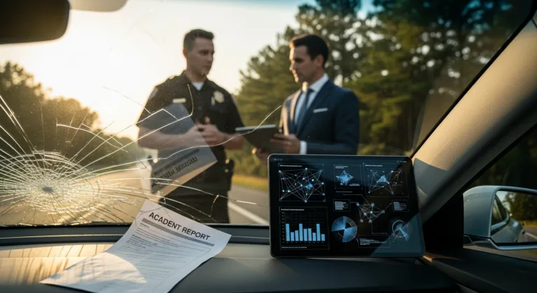
Legal Implications and Admissibility of Drone Evidence
The use of drone technology in accident reconstruction raises important legal questions. Is drone evidence admissible in court? The answer is generally yes, but certain conditions must be met. The data must be collected and processed in a manner that is consistent with established scientific principles. The drone operator must be properly licensed and trained, and the chain of custody of the data must be carefully maintained. In 2026, most jurisdictions have well-defined rules for drone operation.
Furthermore, the expert witness presenting the drone evidence must be qualified to interpret the data and explain its significance to the jury. This typically requires a background in engineering, physics, or accident reconstruction. As the technology becomes more prevalent, courts are becoming increasingly familiar with drone evidence, but it is still important to ensure that all legal requirements are met to ensure its admissibility.
Choosing the Right Legal Representation for Cases Involving Drone Evidence
If you’ve been involved in a car accident in Marietta GA, and drone technology was used in the accident investigation, it’s crucial to seek legal representation from an attorney who understands the nuances of this technology. Here’s what to look for:
- Experience: Choose an attorney with a proven track record of handling car accident cases, particularly those involving complex evidence.
- Knowledge of Drone Technology: Your attorney should understand how drones are used in accident reconstruction and be able to effectively challenge or support the evidence presented.
- Access to Experts: A reputable attorney will have relationships with qualified accident reconstruction experts who can analyze drone data and provide expert testimony.
- Commitment to Investigation: Your attorney should be willing to thoroughly investigate the accident, gathering all available evidence, including police reports, witness statements, and drone data.
- Communication: Choose an attorney who communicates clearly and keeps you informed throughout the legal process.
Don’t hesitate to ask potential attorneys about their experience with drone evidence and their approach to handling car accident cases. A skilled attorney can help you navigate the complexities of the legal system and ensure that your rights are protected.
Future Trends in Drone-Based Accident Reconstruction
The field of drone technology and accident reconstruction is constantly evolving. In the coming years, we can expect to see even more sophisticated applications of drones in car accident investigation. Some potential future trends include:
- AI-Powered Analysis: Artificial intelligence (AI) algorithms are being developed to automatically analyze drone data and identify key evidence, such as skid marks, debris fields, and vehicle damage. This could further streamline the accident reconstruction process and improve accuracy.
- Real-Time Data Transmission: Drones could be equipped with the ability to transmit data in real-time to investigators, allowing them to assess the scene remotely and make informed decisions more quickly.
- Integration with Other Technologies: Drone data could be integrated with other technologies, such as GPS tracking and vehicle telematics, to provide a more complete picture of the accident.
- Expanded Use Cases: While currently primarily used for serious accidents, drones could become more widely used for investigating minor collisions and traffic incidents.
These advancements will continue to improve the accuracy and efficiency of accident investigations, ultimately leading to fairer and more just outcomes for those involved in car accidents. As drone technology becomes more integrated into the legal process, it’s essential for attorneys to stay up-to-date on the latest developments and best practices.
Conclusion
Drone technology has revolutionized accident reconstruction in Marietta GA, offering a more accurate, efficient, and comprehensive way to investigate car accidents. By providing aerial perspectives and detailed 3D models, drones help determine fault and strengthen legal claims. If you’ve been in an accident where drone evidence is involved, consulting with an attorney experienced in this technology is essential. Don’t delay – contact a qualified legal professional today to protect your rights and explore your options.
What types of drones are used for accident reconstruction?
Drones used for accident reconstruction typically feature high-resolution cameras, GPS capabilities, and stable flight platforms. Models from manufacturers like DJI are commonly used due to their reliability and image quality. The specific model chosen depends on the size of the accident scene and the required level of detail.
How accurate is drone-based accident reconstruction?
When used properly, drone-based accident reconstruction can be highly accurate. The accuracy depends on factors such as the quality of the drone’s camera, the software used to process the data, and the expertise of the analyst. Under ideal conditions, measurements can be accurate to within a few centimeters.
What are the limitations of using drones for accident reconstruction?
Drones are susceptible to weather conditions like wind and rain, which can affect flight stability and image quality. Obstructions like trees and buildings can also limit the drone’s ability to capture certain areas of the accident scene. Furthermore, legal restrictions on drone flights in certain areas may prevent their use in some cases.
How much does it cost to use drone technology for accident reconstruction?
The cost of using drone technology for accident reconstruction can vary depending on the complexity of the accident scene, the amount of data collected, and the expertise of the drone operator and analyst. Generally, expect to pay several hundred to several thousand dollars for a comprehensive drone-based accident reconstruction report.
Can I use my own drone footage as evidence in a car accident case?
While you can attempt to use your own drone footage, its admissibility in court will depend on several factors. The footage must be authenticated, meaning you must prove that it accurately depicts the accident scene. You must also demonstrate that you were legally operating the drone at the time the footage was captured. It’s generally best to rely on professionally collected and analyzed drone data for legal purposes.